If you’re trekking in the Everest region and want to link the classic Everest Base Camp trail with the stunning turquoise Gokyo Lakes, there’s really only one way to do it on foot: Cho La Pass. It’s one of the most crossed high passes in Nepal, a glacier crossing tough enough to demand real respect, and one of the highlights of the famous Three Passes Trek.
Here’s everything you need to know before you go.
What Is Cho La Pass
Cho La Pass sits at 5,420 meters (17,782 feet) in Nepal’s Khumbu region, in the heart of the Everest area. It physically connects two of the region’s most popular trekking routes the Everest Base Camp trail on the east side, via the village of Dzongla, and the Gokyo Lakes region on the west side, via the village of Thagnak (also spelled Dragnag).
Without Cho La, trekkers wanting to see both Everest Base Camp and Gokyo would need to backtrack all the way down and around through Namche Bazaar adding days to the trip. Cho La cuts that connection directly through the mountains, which is exactly why it’s become one of the most popular high-altitude crossings in Nepal.
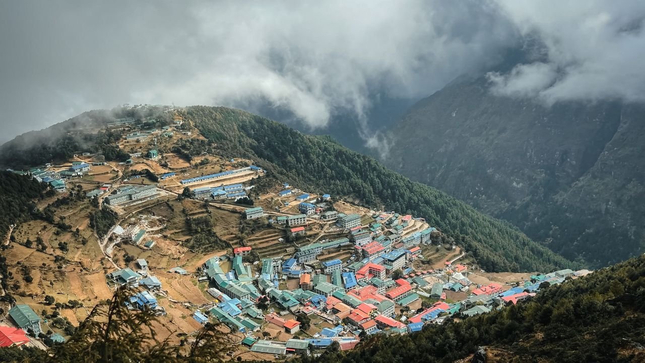
Cho La Pass: Photo by Marina Zvada
Key Details
| Elevation | 5,420 meters (17,782 ft) |
| Connects | Dzongla (4,830m) in the east to Thagnak/Dragnag (4,700m) in the west |
| Distance | Roughly 9.4 km (5.9 miles) between the two villages |
| Crossing time | 7+ hours, typically |
| Difficulty | Strenuous steep terrain, glacier travel, loose rock and boulders |
| Gear needed | Microspikes or crampons highly recommended |
| Best seasons | Mid-March to May (spring), and September to mid-December (autumn) |
Why Cho La Pass Is So Challenging
Cho La has a reputation, and it earns it. A few things make this crossing tougher than a typical trekking day:
- Glacier travel. Part of the route crosses the Cho La Glacier, meaning trekkers walk across ice and snow-covered terrain rather than a dirt trail. This is why crampons or microspikes are considered essential, not optional.
- A steep, punishing climb. Most of the elevation gain happens in a short stretch of trail some routes gain nearly 2,000 feet within about 1.2 miles. That’s a serious, sustained climb at an altitude where every step already takes more effort.
- Loose rock and boulders. Large sections of the trail, especially near the top, involve scrambling over rocky, uneven ground rather than a clear path.
- Thin air. At 5,420m, oxygen levels are roughly half of what they are at sea level. Even fit trekkers often feel the altitude here more than anywhere else on the trip.
- Early starts. Most trekking groups leave Dzongla around 3–5 a.m. to cross before strong winds pick up and to reduce the risk of rockfall later in the day.
Despite the difficulty, the trail itself is straightforward to follow, and the route stays above the treeline the entire way — so navigation isn’t the challenge here. Fitness, altitude, and glacier conditions are.
How Cho La Fits Into a Trekking Itinerary
Most trekkers experience Cho La Pass one of two ways:
As an extension to the Everest Base Camp Trek. Rather than simply visiting Everest Base Camp and turning back the way they came, trekkers cross Cho La to also visit the Gokyo Valley and its famous glacial lakes turning a there-and-back trip into a loop with far more variety. This combined route typically takes 16–20 days.
As part of the Three Passes Trek. This is the more ambitious classic route through the Everest region, crossing not just Cho La but also Kongma La and Renjo La, along with a visit to Everest Base Camp and Kala Patthar. On the standard Three Passes itinerary, trekkers typically cross Cho La around day 10, give or take a day depending on side trips.
A Typical Day Crossing Cho La Pass
While exact itineraries vary by operator, a typical crossing day looks something like this:
- Early start from Dzongla (4,830m), usually well before sunrise to avoid wind and rockfall
- A steady initial climb, relatively gentle at first before the trail steepens sharply
- The final push to the pass, crossing glacier and boulder terrain, often with crampons or microspikes on
- Reaching the summit (5,420m), marked by prayer flags, chortens, and Buddhist memorial stupas, with views across to Ama Dablam, Cholatse, and the surrounding peaks
- A careful descent toward Thagnak often considered just as demanding as the climb up, since the icy rock underfoot requires caution
- Arrival in Thagnak (4,700m), a small village with a handful of teahouses, for a well-earned rest
Most trekkers cover the full Dzongla-to-Thagnak crossing in around 7–8 hours, including a lunch break partway.
What You’ll See From the Top
The views from Cho La Pass are a big part of why it’s so popular despite the difficulty. From the summit, expect sweeping views of Ama Dablam, Cholatse, and depending on conditions glimpses of Everest, Lhotse, Makalu, and Cho Oyu in the distance. A small glacial pond often sits near the top as well, adding to the scenery.
Best Time to Cross Cho La Pass
The two most reliable windows are:
- Spring: mid-March to May — increasingly stable weather as the season progresses, with good visibility
- Autumn: September to mid-December — generally the most popular season for Everest region trekking, with clear skies and stable conditions
Outside these windows, snow accumulation and unpredictable weather make the crossing significantly riskier. Winter brings extreme cold and heavier snow, while the summer monsoon (June–August) brings poor visibility and unstable glacier conditions.
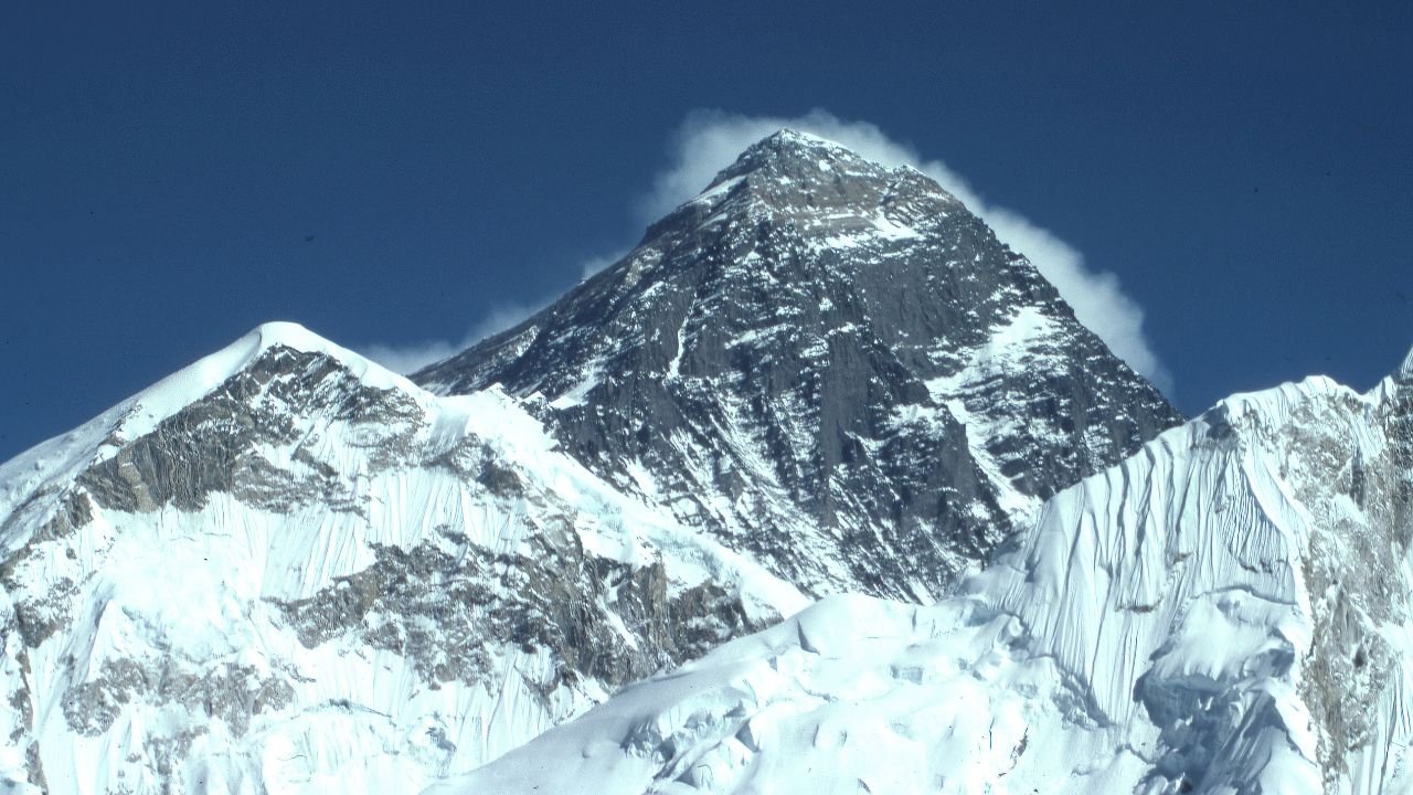
Cho La Pass trek everest: Photo by Dick Hoskins
Is Cho La Pass Right for You
Cho La Pass suits trekkers who:
- Already have some high-altitude trekking experience, or are working up through a well-acclimatized itinerary
- Are reasonably fit and comfortable with steep, sustained climbs
- Don’t mind glacier travel with proper gear (microspikes/crampons) and are trekking with an experienced guide
- Want to combine Everest Base Camp with the Gokyo Lakes region in a single trip, rather than doing them as separate trips
It’s a serious trekking day, but unlike more technical passes such as Amphu Lapcha, Cho La doesn’t require ropes or advanced climbing skills it’s demanding because of altitude, steepness, and glacier terrain, not technical mountaineering.
Frequently Asked Questions
How high is Cho La Pass?
Cho La Pass sits at 5,420 meters (17,782 ft), making it comparable in height to Thorong La (5,416m) on the Annapurna Circuit, and one of the three major passes on Nepal’s Three Passes Trek.
Do I need crampons for Cho La Pass?
Yes, microspikes or crampons are highly recommended. Sections of the route cross glacier ice and snow-covered rock, which can be very slippery, especially in the early morning when conditions are coldest.
How long does it take to cross Cho La Pass?
The crossing between Dzongla and Thagnak typically takes 7 to 8 hours, including a rest stop, though pace varies depending on fitness, weather, and altitude acclimatization.
What is the Three Passes Trek?
The Three Passes Trek is a demanding route through the Everest region that crosses three high passes Kongma La (5,535m), Cho La (5,420m), and Renjo La (5,360m) along with a visit to Everest Base Camp. It typically takes 18–22 days and is considered one of the toughest standard trekking routes in Nepal.
Is Cho La Pass harder than Thorong La?
Both are demanding, but Cho La is generally considered more technically challenging due to the glacier crossing and steep, rocky terrain, while Thorong La is more of a long, high-altitude walking day without significant technical difficulty.
Can beginners cross Cho La Pass?
It’s not recommended as a first high-altitude trek. Trekkers should have some prior experience with multi-day trekking and altitude before attempting Cho La, ideally as part of a well-paced, guided itinerary with proper acclimatization days built in.
Final Thoughts
Cho La Pass is what makes the Everest Base Camp and Gokyo Lakes combination possible in a single trip and it does so by putting trekkers through one of the most memorable, demanding days in the entire Khumbu region. With the right gear, a good guide, and proper acclimatization, it’s a genuinely achievable challenge that rewards trekkers with some of the best mountain views in Nepal.
