
Table of Contents
ToggleThere is a category of trekking in Nepal that sits beyond the well-mapped routes of Everest Base Camp and the Annapurna Circuit a category defined not by popularity, but by exposure, consequence, and terrain complexity. The technical mountain pass Nepal experience belongs to this category. These crossings often above 5,500 metres are not simply high points on a trekking route; they are decisive thresholds where trekking transitions into controlled mountaineering.
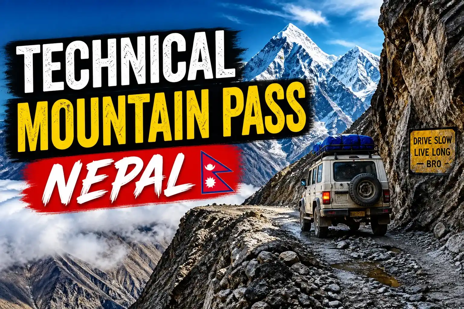
Technical Mountain Pass Nepal
Unlike mainstream Himalayan trails, a technical mountain pass Nepal route demands competence in glacier travel, comfort with fixed lines, and a tolerance for extended remoteness where infrastructure disappears entirely. These routes are not supported by dense teahouse networks or reliable rescue logistics. The margin for error narrows significantly above the final settlements.
This guide is written for trekkers who have already completed routes like Everest Base Camp, Annapurna Circuit, or even the Three Passes Trek and are actively seeking a more serious objective. A technical mountain pass Nepal journey is not about distance it is about terrain, altitude, and decision-making under pressure.
What Makes Technical Mountain Pass Nepal Different
A technical mountain pass Nepal trek is not simply a harder extension of commercial trekking routes. It is structurally different in three key ways: terrain complexity, infrastructure absence, and consequence of failure.
On routes like Everest Base Camp in Khumbu or the Annapurna Circuit in Annapurna Region, difficulty is largely aerobic long days, high altitude, and cumulative fatigue. Trails are well-established, teahouses are frequent, and evacuation while expensive is generally possible within hours.
In contrast, a technical mountain pass Nepal route introduces objective hazards. Glacier crossings require navigation around crevasses. Moraine fields shift underfoot. Snow conditions vary daily, influencing avalanche risk and route stability. The pass itself is often a narrow window between weather systems.
Culturally, these routes also differ. Many technical crossings lie within regions considered Beyul hidden sacred valleys in Tibetan Buddhist tradition. Areas surrounding passes like Tashi Lapcha or Kang La are not just geographical features; they are embedded within a spiritual landscape shaped by centuries of isolation and belief systems tied to Tibetan Buddhism.
Geographically, these passes often connect major Himalayan regions linking valleys that would otherwise require flights or long detours. A single crossing can move a trekker from a remote conservation area into a high-traffic zone like Sagarmatha National Park.
Mount Gaurishankar The Defining Presence
Any serious discussion of technical mountain pass Nepal routes must include Mount Gaurishankar. Rising to 7,134 metres, Gaurishankar dominates the Rolwaling region and acts as both a geographical anchor and a cultural symbol.
Named after the Hindu deities Gauri (Parvati) and Shankar (Shiva), the mountain’s twin summits represent divine duality. Its prominence and proximity to Kathmandu have made it a visual reference point for centuries. Unlike peaks in the Everest region, which are often viewed from a distance, Gaurishankar is encountered at close range—its faces visible in shifting detail throughout the day.
For trekkers approaching technical passes like Tashi Lapcha, Gaurishankar is not just a backdrop. It defines orientation, weather patterns, and the psychological weight of the journey. Its massif influences glacial systems feeding into the valley, including those that must be crossed en route to higher passes.
Historically, Gaurishankar remained closed to climbers until 1979 due to its proximity to the Tibetan border. This restriction preserved its mystique and limited human interaction compared to other Himalayan peaks.
Tsho Rolpa A Glacial System Under Observation
At 4,580 metres lies Tsho Rolpa, one of the most significant glacial lakes in Nepal and a critical component of the technical mountain pass Nepal landscape.
Tsho Rolpa is not merely a scenic feature it is a dynamic glacial system actively monitored due to its potential for a glacial lake outburst flood (GLOF). Since the 1990s, the lake has expanded significantly due to glacier retreat, a direct consequence of rising regional temperatures.
For trekkers, this lake represents a transition point. Below it, trails remain relatively defined. Above it, terrain becomes unstable, shifting into moraine, ice, and high-altitude desert. The glacier feeding Tsho Rolpa is visibly receding, exposing fresh rock and altering traditional trekking routes.
From a technical perspective, the lake marks the beginning of serious altitude exposure. Camps beyond this point require full logistical support, including tents, food supplies, and cooking equipment. There are no permanent settlements beyond this zone.
The presence of Tsho Rolpa reinforces a key reality of technical mountain pass Nepal routes: these are environments in flux. Routes that were stable five years ago may now involve new crevasse fields or unstable moraine.
Tashi Lapcha Pass (5,755m) The Technical Core
The defining feature of any technical mountain pass Nepal itinerary is the pass itself. Tashi Lapcha Pass, at 5,755 metres, exemplifies this category.
The approach from the Rolwaling side begins beyond the last village, where the trail dissolves into a network of cairns across moraine fields. From base camp, the ascent involves glacier travel requiring crampons or microspikes, depending on conditions. Fixed ropes are often installed on steeper sections, but their presence is not guaranteed.
Terrain on the ascent includes:
- Loose moraine prone to rockfall
- Ice sections with hidden crevasses
- Snow slopes where avalanche risk must be assessed daily
The pass crossing itself is typically executed in pre-dawn conditions when snow is firmest. Timing is critical. Delays can result in soft snow, increasing the risk of slips or collapse into hidden crevasses.
The descent into the Khumbu region is equally demanding. Initial sections are steep and unstable, transitioning into glacial debris fields before reaching more defined trails.
At this altitude, rescue options are limited. Helicopter evacuations are not always feasible due to weather, terrain, or landing constraints. This reality defines the psychological aspect of a technical mountain pass Nepal trek you are operating in a zone where self-sufficiency is essential.
Optional Extension: Pachermo Peak (6,273m)
For trekkers seeking to extend their technical experience, Pachermo Peak offers a logical progression.
Located near Tashi Lapcha Pass, Pachermo requires basic mountaineering skills, including the use of crampons, ice axe, and rope systems. Unlike trekking peaks accessible from established routes, Pachermo is approached from a remote base, adding logistical complexity.
A climbing permit from the Nepal Mountaineering Association is required. The ascent typically adds 2–3 days to the itinerary and involves a high camp setup.
Summiting Pachermo provides a vantage point over the Khumbu glacier system and surrounding peaks such as Ama Dablam and Everest.
This extension is not suitable for trekkers without prior technical experience. It transforms a trekking expedition into a hybrid mountaineering objective.
The Route Day-by-Day Overview
A typical technical mountain pass Nepal itinerary spans 18–21 days and is structured around acclimatization and terrain progression.
Days 1–3: Kathmandu to Trailhead
Departure from Kathmandu involves a long drive to remote trailheads such as Gongar Khola. These initial days transition from urban density to isolated rural valleys.
Days 4–7: Lower Valley Approach
Trekking through forested terrain and villages like Simigaon introduces gradual altitude gain. Teahouses are available, though basic.
Days 8–10: Upper Valley Settlements
Villages such as Bedding and Nagaon mark the last permanent settlements. Acclimatization becomes critical as altitude approaches 4,000 metres.
Days 11–13: Glacier Approach and Pass Crossing
Beyond Nagaon, the route shifts to full camping. Trekking involves moraine navigation, glacier travel, and eventual ascent to the pass.
Days 14–16: Descent into Khumbu
Post-pass, the route descends into established trails leading toward Thame and Namche Bazaar.
Days 17–20: Exit via Lukla
Final days involve descent to Lukla for return flights.
Permits and Costs (2026 Updated)
| Permit | Cost | Notes |
|---|---|---|
| Gaurishankar Conservation Area | NPR 3,000 | Entry permit |
| Restricted Area Permit | USD 20/week | Mandatory via agency |
| Sagarmatha National Park | NPR 3,390 | Required after pass |
| Local Municipality Fee | NPR 2,000–3,000 | Paid in Khumbu |
Total Estimated Permit Cost: USD 80–100
A licensed guide is mandatory under Nepal’s trekking regulations for restricted areas.
Total Cost Breakdown
- Budget (USD 800–1,200): Limited to lower valley trekking
- Standard (USD 1,300–2,000): Mixed teahouse and camping
- Premium (USD 2,500–3,500): Full-service expedition style
Costs increase significantly due to logistics required for high-altitude camping sections.
Difficulty Rating Honest Assessment
Grade: Very Strenuous
A technical mountain pass Nepal trek exceeds the difficulty of the Three Passes Trek or Manaslu Circuit due to:
- Glacier travel requiring equipment
- Extended sections without infrastructure
- High-altitude exposure above 5,500m
- Limited rescue options
Trekkers must have prior experience above 4,500 metres and be capable of sustained effort over 8–10 hour days.
Psychological resilience is equally important. Isolation and exposure amplify fatigue and decision-making pressure.
Best Season
Spring (March–May):
Stable snowpack, moderate temperatures, and blooming lower valleys.
Autumn (September–November):
Clear skies, best visibility, and stable weather patterns.
Winter and monsoon seasons are not recommended due to snow accumulation and avalanche risk.
Wildlife and Ecology
Technical mountain pass Nepal routes often traverse protected areas such as Gaurishankar Conservation Area.
Wildlife includes:
- Himalayan tahr
- Musk deer
- Snow leopard (rare)
- Red Panda
Low human traffic supports relatively undisturbed ecosystems.
Who This Trek Is For
This trek is designed for experienced trekkers who have completed routes like Everest Base Camp or Annapurna Circuit and seek a more technical challenge.
Ideal candidates:
- Comfortable above 5,000m
- Prior glacier or snow trekking experience
- High physical endurance
- Ability to operate in remote environments
Who Should NOT Do This Trek
- First-time trekkers
- Individuals without high-altitude experience
- Those on fixed schedules
- Anyone relying on infrastructure for safety
A technical mountain pass Nepal trek is not defined by distance or popularity. It is defined by exposure, terrain, and consequence. These routes exist at the edge of what trekking allows before mountaineering begins.
For those prepared to engage with that boundary physically and mentally they offer something increasingly rare in the Himalaya: genuine uncertainty, authentic remoteness, and a crossing that must be earned rather than followed.
The Explore All About Nepal team is based in Kathmandu and can connect you with verified TAAN-registered operators whose guides have current Tashi Lapcha Pass experience. Leave a question in the comments below.
