
Best Maps and GPS Navigation Apps for Nepal: Top Trekking Tools in 2026
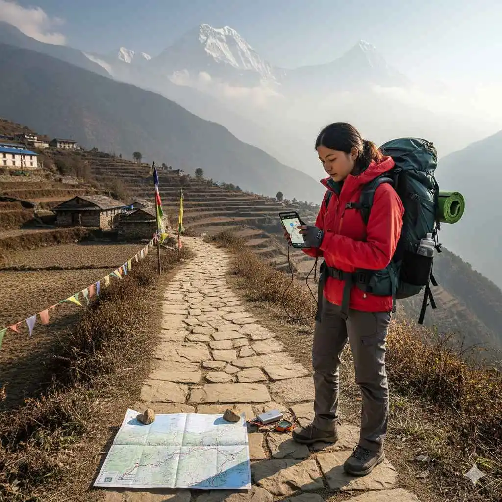
Nepal is one of the world’s most iconic trekking destinations, attracting hundreds of thousands of hikers every year to famous trails like Everest Base Camp, Annapurna Circuit, Langtang Valley, Manaslu Circuit, Upper Mustang, and countless off-the-beaten routes. Whether you’re a first-time trekker or an experienced mountain explorer, one thing remains essential: having the right trekking maps and GPS navigation apps for Nepal.
Nepal’s terrain is beautiful but unpredictable weather shifts quickly, trails can change due to landslides, seasonal routes can disappear during monsoon, and remote regions often have no Wi-Fi or network coverage. That’s why smart trekkers rely on a combination of printed maps and GPS navigation apps for Nepal to ensure safety, accuracy, and confidence on the trail.
This comprehensive 2500-word guide breaks down the best maps and GPS navigation apps for Nepal routes, compares their features, highlights region-specific recommendations, and provides practical safety tips. Whether you prefer paper maps, digital apps, or a hybrid approach, this article covers everything you need to trek Nepal confidently.
Why Trekking Maps & GPS Navigation Apps Are Essential in Nepal
Although many of Nepal’s popular trekking routes are relatively well-marked, most trails even the famous ones still involve sections where:
Signboards are missing
Trails split into multiple unmarked directions
Weather reduces visibility
Monsoon landslides change the landscape
Villages and tea houses shift locations
New alternative routes appear
Using reliable maps and GPS navigation apps for Nepal helps trekkers stay on the right path, avoid dangerous detours, track elevation gains, and pre-plan each day of the journey.
Benefits of Using Maps and GPS Apps
Offline navigation in remote regions with no mobile network
Accurate elevation profiles for altitude planning
Real-time location tracking
Updated information on teahouses, water sources, and landmarks
Better safety on unfamiliar or less-developed trails
Ability to download GPX routes shared by other trekkers
For high-altitude trekking regions like the Everest region, Annapurna region, Manaslu, Kanchenjunga, Makalu, and Dolpo, having dependable maps and GPS navigation apps for Nepal can be the difference between a smooth trek and a stressful one.
1. Himalayan Map House – Best Printed Trekking Maps in Nepal
When it comes to physical trekking maps in Nepal, Himalayan Map House is the most respected publisher. Trekkers worldwide swear by their accuracy, durability, and detailed topographical layout.
Why It’s Popular
1:50,000 and 1:100,000 scales
Waterproof and tear-resistant
Updated annually
Covers every major trekking route in Nepal
Excellent contour lines and elevation markings
Popular Maps
Everest Base Camp Map
Annapurna Circuit & Annapurna Base Camp Map
Langtang–Gosaikunda–Helambu Map
Manaslu Circuit Map
Upper Mustang Map
Upper Dolpo & Shey Gompa Map
Where to Buy
Thamel, Kathmandu
Pokhara Lakeside trekking shops
Official website
Local bookstores
Even if you plan to rely on maps and GPS navigation apps for Nepal, carrying a Himalayan Map House printed map as a backup is highly recommended.
2. Nepal Map Publisher – Affordable & Lightweight Trekking Maps
Nepal Map Publisher is another well-known name among trekkers who prefer budget-friendly printed maps.
Why Trekkers Choose It
Affordable pricing
Lightweight and easy to carry
Clear route markings
These maps are ideal for beginner-friendly trekking routes like Poon Hill, ABC, Mardi Himal, and Langtang.
3. Gaia GPS – Best Advanced GPS App for Nepal Treks
Among maps and GPS navigation apps for Nepal, Gaia GPS stands out as the most powerful and accurate GPS navigation tool for serious trekkers.
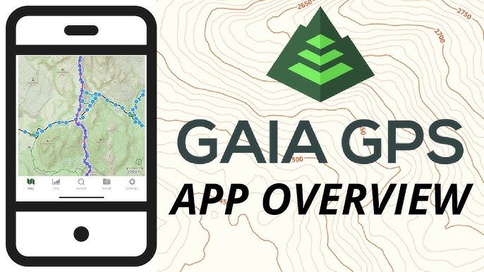
Gaia GPS
Key Features
Offline maps for every region in Nepal
HD topographic layers
Real-time GPS positioning even in airplane mode
Detailed elevation charts
Waypoint marking
GPX import/export
Best For
Remote and less-traveled routes:
Kanchenjunga
Dolpo
Nar Phu
Dhaulagiri Circuit
Makalu Base Camp
For long, rugged, and high-altitude trails where accuracy is critical, Gaia GPS is arguably the top choice among maps and GPS navigation apps for Nepal.
4. Maps.me – Best Free Offline Map App for Popular Routes
Maps.me is one of the most commonly used GPS navigation apps for Nepal trekking because it is free, easy to use, and fully offline.
Why Trekkers Love It
Works entirely offline
Includes guesthouses, trails, water points
Lightweight
Good accuracy for popular trails
Best For
Annapurna Circuit
Annapurna Base Camp
Everest Base Camp
Mardi Himal
Langtang Valley
Limitations
Not ideal for remote trekking routes
Trails may occasionally be outdated
Still, Maps.me is one of the most downloaded maps and GPS navigation apps for Nepal.
5. AllTrails – Best for Beginners & Casual Trekkers
AllTrails is extremely popular among day hikers and trekkers who want easy route suggestions with reviews and photos.
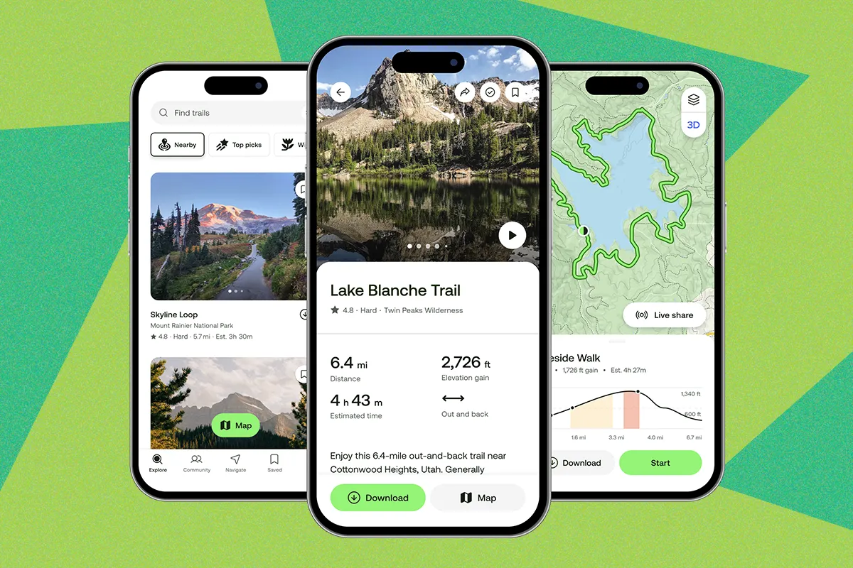
alltrails
Key Features
Offline map download (Pro version)
User-generated route information
Reviews and ratings
Difficulty levels
While it is not as detailed as Gaia GPS, AllTrails works well for beginner-friendly treks around Kathmandu Valley and Pokhara.
6. Outdooractive (formerly ViewRanger)
Outdooractive is another professional-grade app ideal for detailed trekking in Nepal.

outdooractive
Features
Verified route information
High-quality topographic maps
Offline access
Elevation and slope analysis
Peak recognition tools
Outdooractive is widely considered a reliable alternative among maps and GPS navigation apps for Nepal, especially in hilly regions and national parks.
7. PeakVisor – Best for Mountain Identification
PeakVisor isn’t a navigation app, but it’s the best app for identifying Himalayan peaks during treks.

PeakVisor
Features
Augmented reality
3D terrain maps
Offline mode
It enhances the trekking experience by helping trekkers identify peaks like Ama Dablam, Machhapuchhre, Annapurna South, and more.
Comparison Table: Best Maps and GPS Navigation Apps for Nepal
| App/Map | Offline | Best For | Region Accuracy | Difficulty |
|---|---|---|---|---|
| Gaia GPS | Yes | Remote treks | ★★★★★ | Intermediate–Advanced |
| Maps.me | Yes | Popular trails | ★★★★☆ | Beginner |
| Outdooractive | Yes | Long-distance treks | ★★★★★ | Intermediate |
| AllTrails | Yes | Day hikes | ★★★☆☆ | Beginner |
| Himalayan Map House (paper) | Always | All regions | ★★★★★ | All levels |
| Nepal Map Publishers (paper) | Always | Popular routes | ★★★★☆ | Beginner |
Best Maps and GPS Navigation Apps for Nepal Region-by-Region Breakdown
To help you choose wisely, here are the top recommendations depending on where you’re trekking.
Everest Region (EBC, Gokyo, Three Passes)
Maps.me
Gaia GPS
Himalayan Map House EBC map
Outdooractive
Annapurna Region (ABC, Annapurna Circuit, Mardi Himal)
Maps.me
AllTrails
Himalayan Map House Annapurna Map
Outdooractive
Langtang & Gosaikunda
Himalayan Map House
Maps.me
Outdooractive
Manaslu Circuit
Gaia GPS
Himalayan Map House
Upper Mustang
Gaia GPS
Outdooractive
Himalayan Map House Mustang Map
Dolpo, Kanchenjunga & Remote Areas
Gaia GPS (best accuracy)
Outdooractive
Remote trekkers should always carry both a printed map and maps and GPS navigation apps for Nepal due to unpredictable terrain.
How to Choose the Right Maps and GPS Navigation Apps for Nepal
1. Choose Apps That Work Offline
Network coverage is unreliable in most mountain areas.
2. Always Carry a Paper Map as Backup
Cold weather can drain phone batteries rapidly.
3. Look for Elevation Profiles
Altitude management is key to avoiding AMS.
4. Check for Updated Trails
Routes change frequently after monsoon.
5. Prefer Apps That Support GPX Files
Useful for importing official trekking routes.
Using the right maps and GPS navigation apps for Nepal ensures you stay on safe and established trails.
Safety Tips for Using GPS Apps in Nepal
Keep your phone in airplane mode to save battery
Carry a power bank (minimum 20,000 mAh)
Download all maps before the trek
Mark teahouses and “turning points”
Don’t rely on a single app; use at least two
Carry a rainproof phone case
Frequently Asked Questions
1. Which is the best free GPS app for Nepal trekking?
Maps.me is the best free offline map for popular trekking routes.
2. Which app is most accurate for remote routes?
Gaia GPS offers the highest accuracy for remote Himalayan trails.
3. Should I use both paper maps and GPS apps?
Yes. Even with the best maps and GPS navigation apps for Nepal, printed maps are essential backup tools.
4. Which printed map brand is best in Nepal?
Himalayan Map House is the most trusted for topographical accuracy and durability.
5. Are offline maps reliable in Nepal?
Yes, as long as they are downloaded before the trek begins.
Using reliable maps and GPS navigation apps for Nepal is one of the smartest decisions any trekker can make. Whether you’re navigating Everest Base Camp, trekking into the forbidden Mustang kingdom, exploring Annapurna’s diverse landscapes, or walking remote Himalayan trails, these tools enhance safety, accuracy, and the overall trekking experience.
For the best navigation results, use a combination of:
Gaia GPS / Outdooractive (digital accuracy)
Maps.me (user-friendly offline option)
Himalayan Map House (printed backup map)
This hybrid approach gives you confidence regardless of network availability, weather conditions, or trail difficulty ensuring your Nepal trekking adventure is safe, informed, and unforgettable.
